Llano Uplift
Llano River - South of Mason, Texas
Llano Uplift from Wikipedea
The Llano Uplift is a geologically ancient, low geologic dome that is about 90 miles (140 km) in diameter and located mostly in Llano, Mason, San Saba, Gillespie, and Blanco counties, Texas. It consists of an island-like exposure of Precambrian igneous and metamorphic rocks surrounded by outcrops of Paleozoic and Cretaceous sedimentary strata.
At their widest, the exposed Precambrian rocks extend about 65 miles (105 km) westward from the valley of the Colorado River and beneath a broad, gentle topographic basin drained by the Llano River. The subdued topographic basin is underlain by Precambrian rocks and bordered by a discontinuous rim of flat-topped hills. These hills are the dissected edge of the Edwards Plateau, which consist of overlying Cretaceous sedimentary strata. Within this basin and along its margin are down-faulted blocks and erosional remnants of Paleozoic strata which form prominent hills.
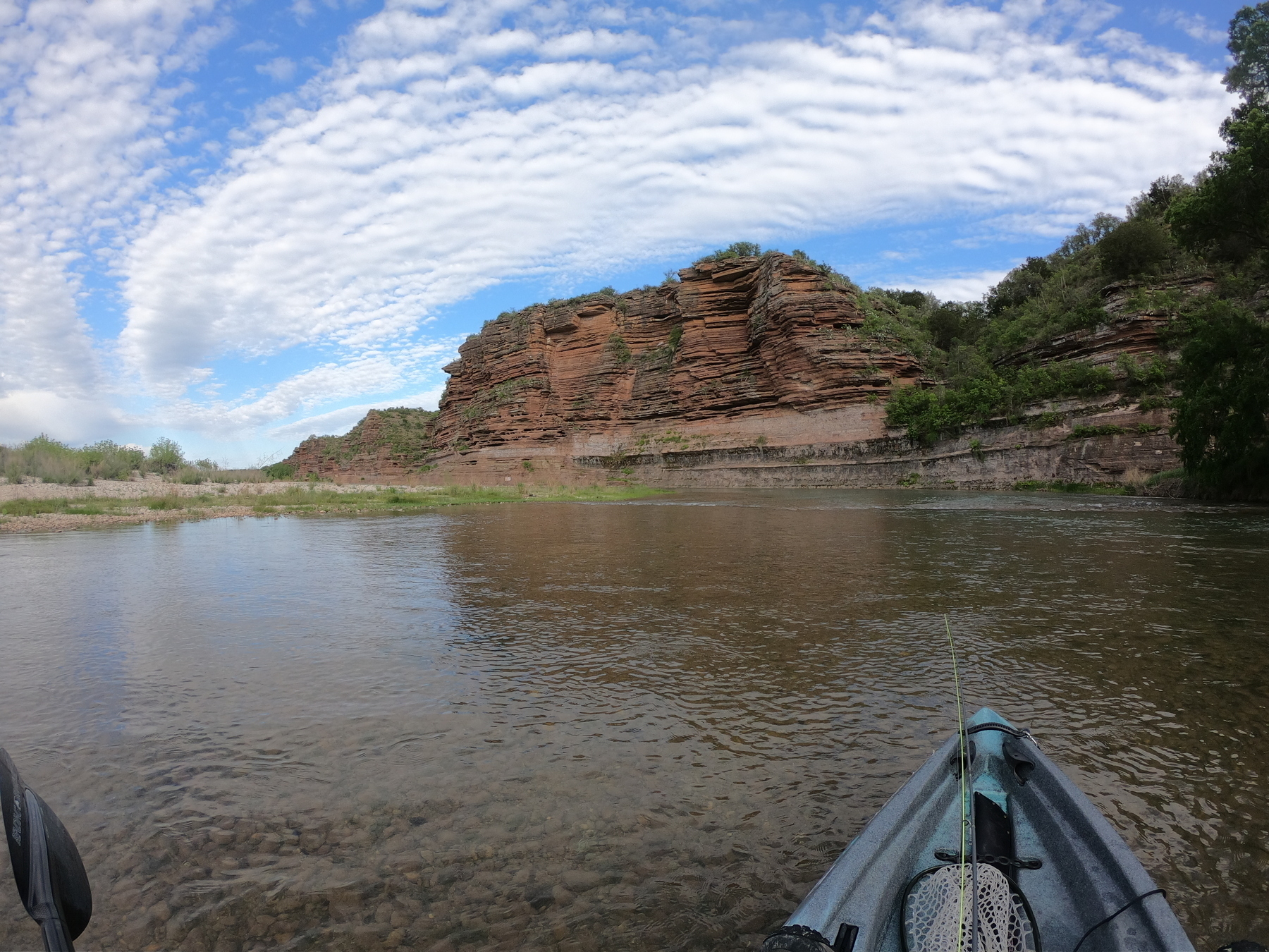
I can drive 2 hours and spend the day in a place that has rock formations that predated land animals. It is humbling.
A friend of mine and me used our trucks to drop our kayaks in at one crossing and we left the other truck at the next crossing. We spent 7 hours on the water and we did not see another person.
- Guadalupe Bass link
- Hawk
- Bald Eagle
- deer
Great day on th water. Many fish were caught. I cannot express how amazing this area of Texas is.